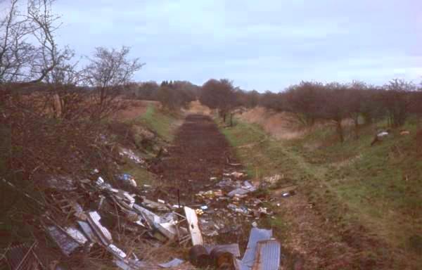
View from Bridge at Grid Ref SJ 695177, looking NE towards Newport, April 1976.
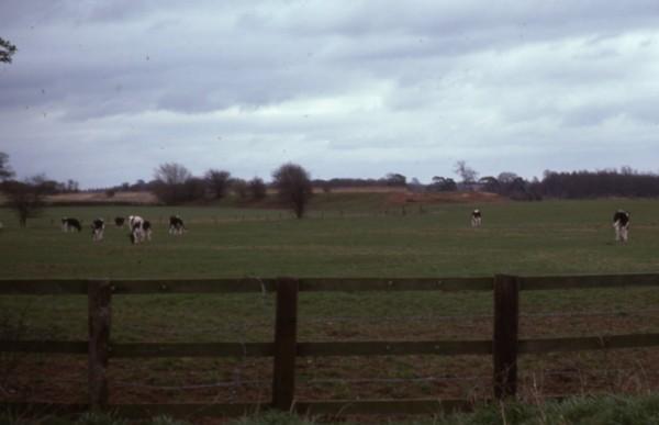
View from Bridge at Grid Ref SJ 695177, looking SW, April 1976.
View from Buttery Farm, looking East, April 1976 (Grid Ref SJ 688170).
The end of the embankment before the bulldozed section shows up clearly.
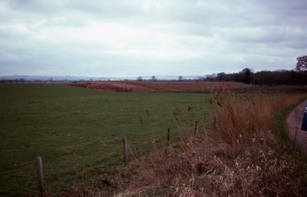
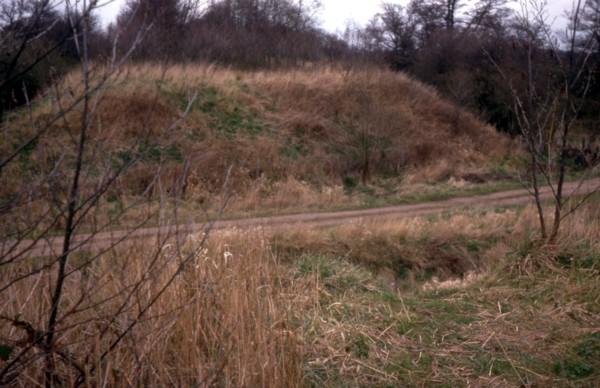
View from Buttery Farm, looking South, April 1976 (Grid Ref SJ 688170).
The embankment towards the site of the aqueduct had recently been bulldozed, showing the difference in soil colour.
Site of Duke's Drive (Kynnersley) Aqueduct, looking East, April 1976 (Grid Ref SJ 687165).
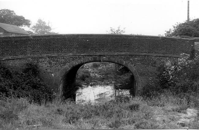
Preston Wharf Bridge, Preston-Upon-The-Weald-Moors (Grid Ref SJ 681156), 1978.
This has now been demolished
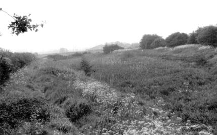
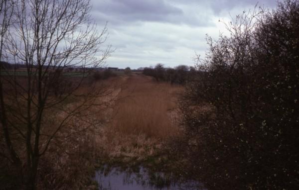
Wappenshall Wide, just before the penultimate bridge, looking back towards Newport (Grid Ref SJ 666147), 1978.
This is similar to the wides on the Shropshire Union Main Line near Wolverhampton and Nantwich.