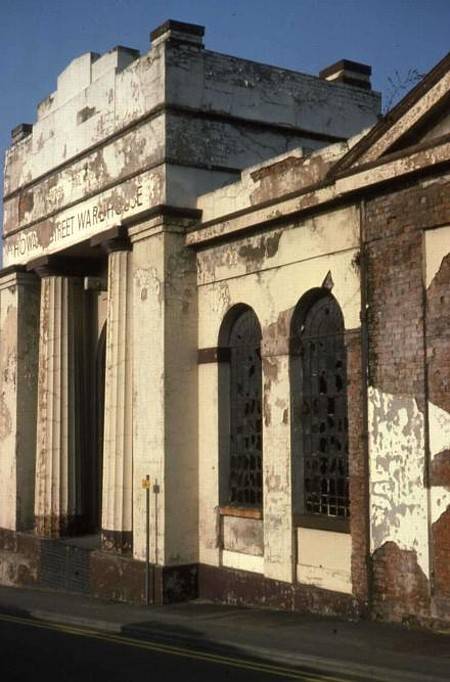
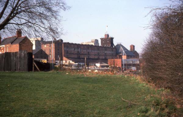
Howard Street Warehouse, the main terminal warehouse, from the S (Grid Ref SJ 495130)
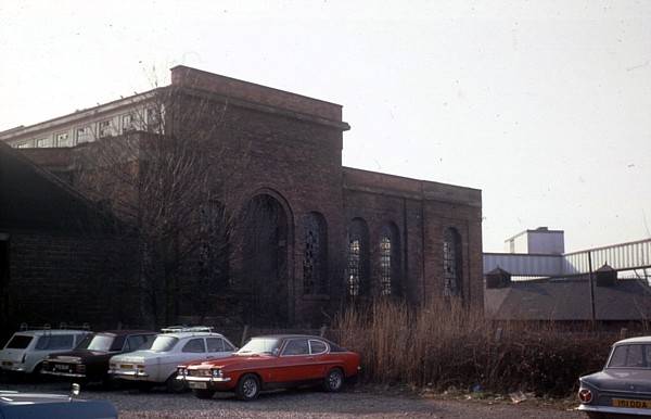
The back of Howard Street Warehouse, and the site of the Shrewsbury Canal Basin (Grid Ref SJ 496131) from the NE
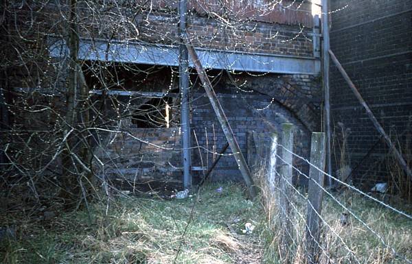
Newpark Road Bridge, now demolished (Grid Ref SJ 496132) from the N
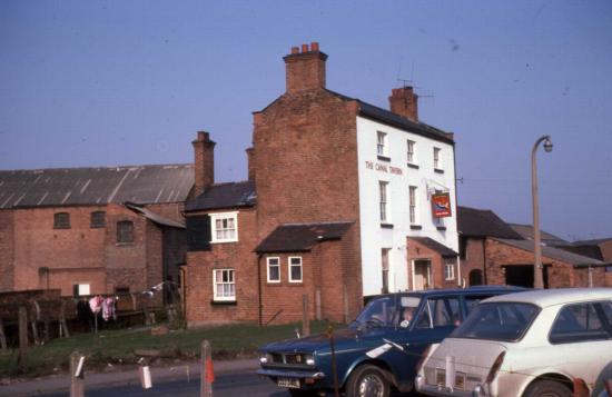
The Canal Tavern, Newpark Road
The canal ran behind the tavern
and in front of the warehouse behind. (Grid Ref SJ 497132)
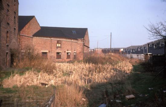
The canal behind the Canal Tavern, Newpark Road (Grid Ref SJ 497132)
Looking towards Ditherington Maltings from behind the end house seen above (Grid Ref SJ 497132)
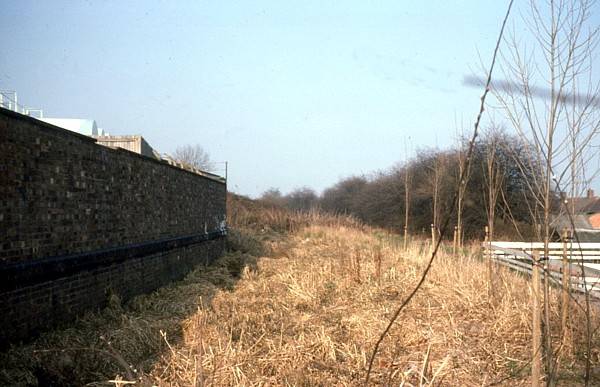
The canal approaches Ditherington Maltings
The
towpath hedge still in place on the right (Grid Ref SJ 498136)
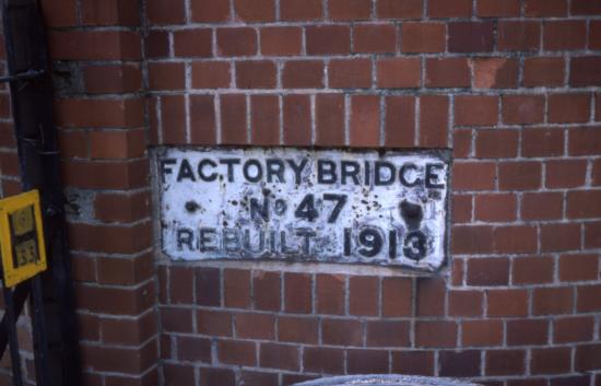
The original bridge plate of Factory Bridge preserved at the site of the southern crossing of the A5191 (Grid Ref SJ 499138), 1976