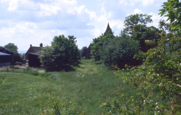
View from Withington Bridge towards the church, in 1998.
The canal ran to the left of the church, with a Lift Bridge nearby. (Grid Ref SJ 578130)
View from Withington Bridge towards the NE, 1998. (Grid Ref SJ 578130)
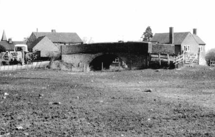
A farm bridge at Rodington, from the SW, 1978. (Grid Ref SJ 588142)
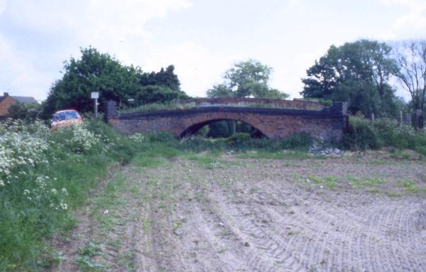
The same farm bridge at Rodington, 20 years later (Grid Ref SJ 588142)
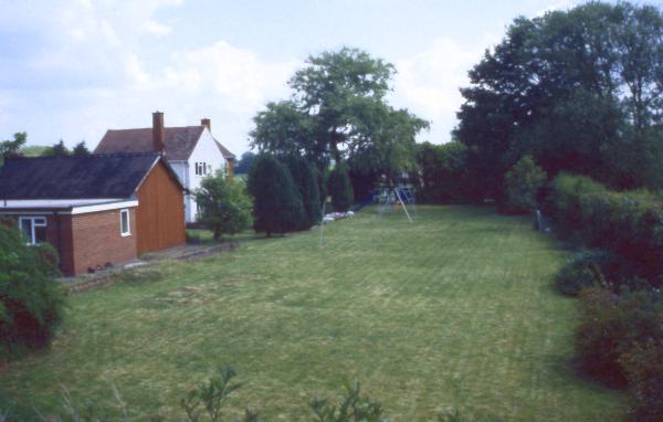
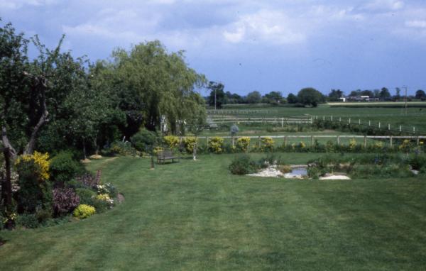
Rodington Wharf, 1998.
The wharf edge can still be seen in front of the buildings on the left.
Rodington Aqueduct crossed the river at an angle to the line of the canal at the far side of the lawn (Grid Ref SJ 588142)

Rodington Aqueduct being demolished, January 1971 (Grid Ref SJ 589142)

The site of Rodington Aqueduct, 1976 (Grid Ref SJ 589142)
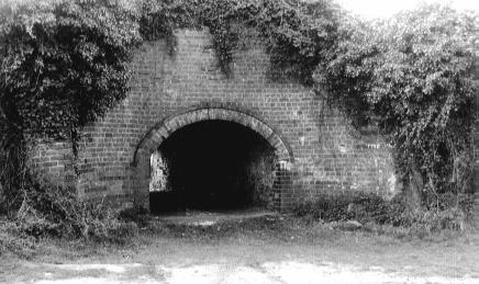
Aqueduct in Rodington Embankment, from N, 1978 (Grid Ref SJ 591142)
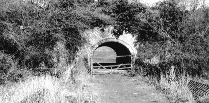
Aqueduct in Rodington Embankment, from S, 1978 (Grid Ref SJ 591142)

The canal bed above the aqueduct in Rodington Embankment (Grid Ref SJ 589142)

The line of the canal from the site of Isom Bridge.
The canal ran just to the left of the white house in the distance, which is by the site of Marsh Green Bridge (Grid Ref SJ 604140)